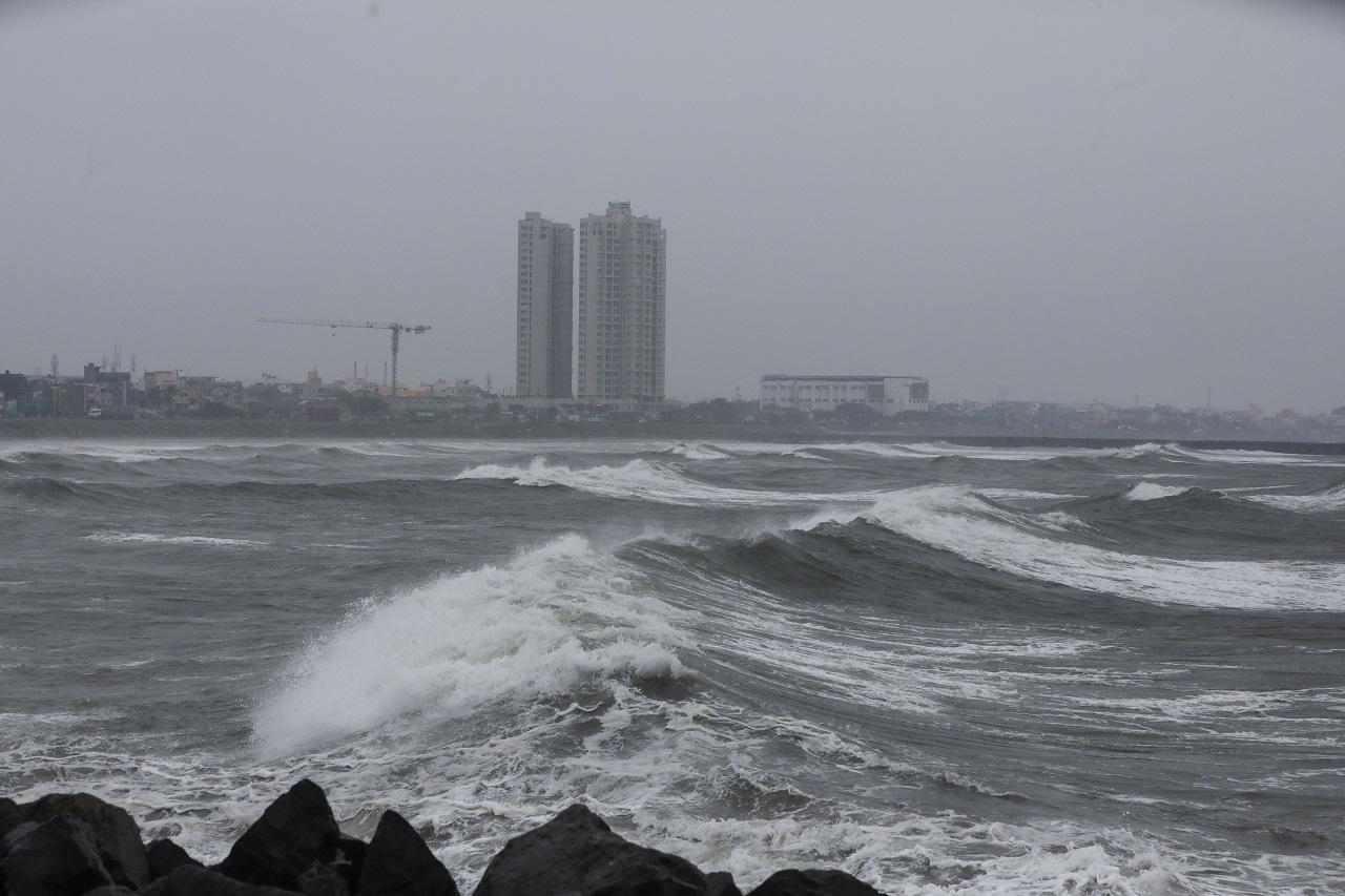
In Photos: Cyclone Fengal to cross Tamil Nadu-Puducherry coast on November 30
The deep depression over the Bay of Bengal is "very likely" to cross the coast as a depression on November 30 between Tamil Nadu and Puducherry, the India, Meteorological Department said on Friday. (Pics/PTI)
Updated on : 29 November,2024 11:09 AM IST | Compiled by : ronak mastakar
Pic/PTI

The deep depression over the Southwest Bay of Bengal moved north-northeastwards with a speed of 9 kmph during the past six hours and lay centred at 11.30 pm of November 28 over the same region. It lay about 240 km northeast of Trincomalee (Sri Lanka), 330 km east-southeast of Nagappattinam, 390 km east-southeast of Puducherry and 430 km southeast of Chennai, the weather office said in its latest update on 'X'
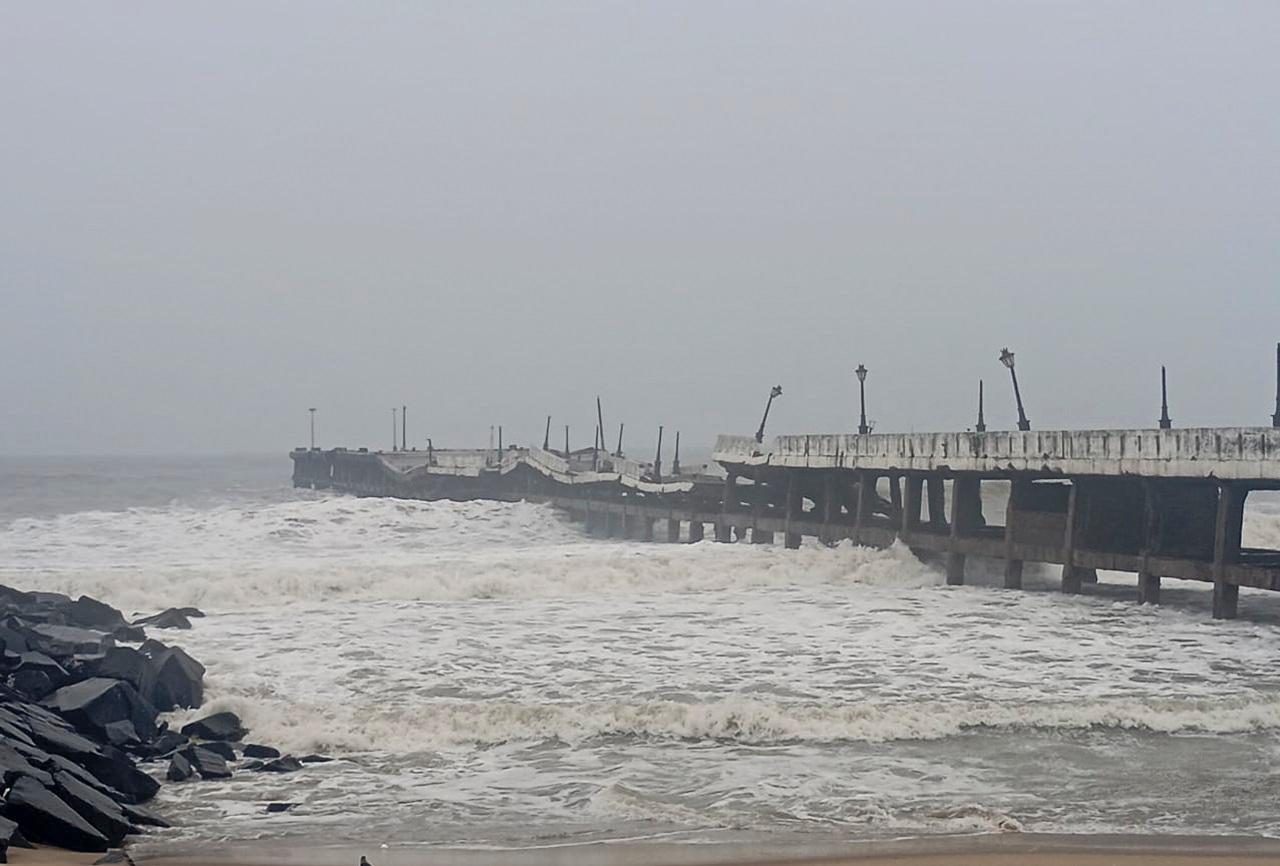
"It is very likely to move northwestwards and maintain its intensity of deep depression till November 29. Continuing to move northwestwards, it is very likely to cross north Tamil Nadu-Puducherry coasts between Karaikal and Mahabalipuram close to Puducherry around morning of November 30 as a depression with a wind speed of 45-55 kmph gusting to 65 kmph," it said

Chennai and its neighbourhoods received sharp showers early Friday and cold conditions prevailed
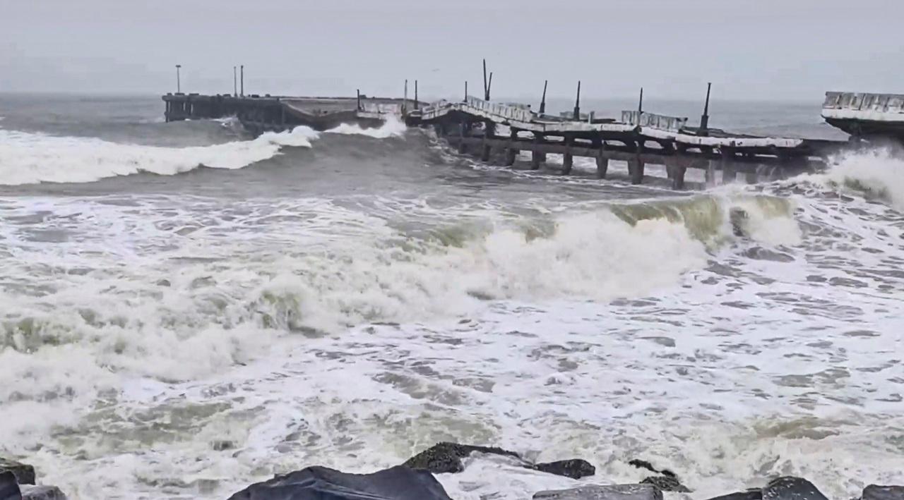
A day's holiday was announced for schools in Chennai and Chengalpet districts on Friday

Earlier on Thursday, heavy rainfall due to Cyclone Fengal caused widespread damage to paddy crops in Tamil Nadu's Nagapattinam district
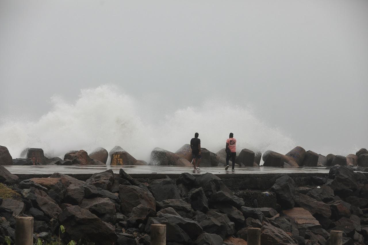
Paddy crops in over 800 acres of land have been completely submerged, leaving farmers in distress
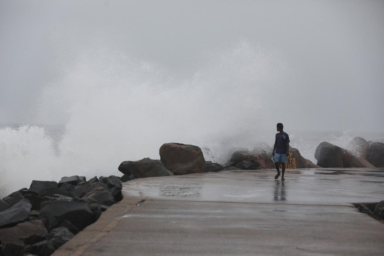
The affected areas include Kamashwaram, Virundhamavadi, Pudupalli, Vedrappu, Vanamadevi, Vallapallam, Kallimedu, Eeravayal, and Chemboadi

Earlier, a senior IMD official said that there would be fairly widespread moderate rainfall in most of the parts of the state
The Indian Navy on Thursday activated a comprehensive disaster response plan as Cyclone Fengal intensifies in the Bay of Bengal


