Recently a group of travellers in the US found themselves in the middle of a desert despite relying on a popular navigation app. Experts offer useful options while on the road
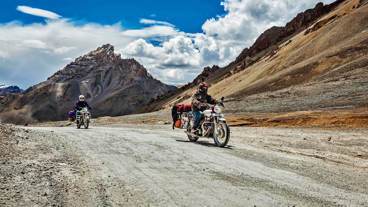
Offline maps work better in remote areas
If you’ve ever found yourself at a crossroads in the hinterlands of India, you know that seeking guidance from locals lounging and sipping on their daily fix of chai at an adda is the best bet to find your way around. Lacking these friendly helpful figures in the USA, last week a group of travellers in Los Angeles resorted to the next best option — Google Maps — only to find themselves stuck in the middle of a desert on their way home after choosing a supposedly ‘faster’ route. As things get frosty in the upcoming months, experts from the city share their go-to alternatives if you’re planning to take the road less
travelled by.
ADVERTISEMENT
Watch your step
Chirag Dhabalia, trek organiser, @chirag.dhabalia
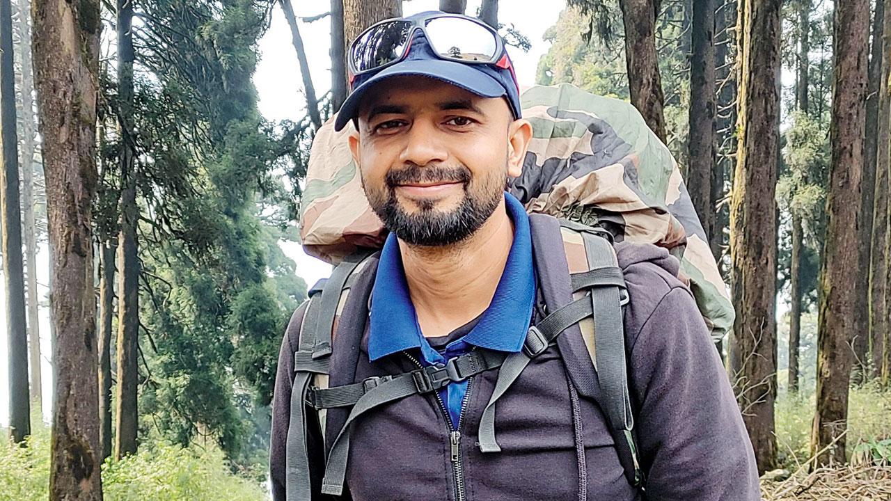
I often lead walking trails and treks across the country. Studying parameters like contour lines, water sources and weather predictions is undeniably the first step before the trip. There are several offline navigation apps used during trails — Gaia GPS, All Trails, maps.me, mapy.cz, Open Street Maps, etc. I personally use Gaia GPS which lets me save my trekking route on my smartwatch. It helps me stay on track and signals when there are any route deviations.
USP: Allows sharing location without internet connectivity.
AVAILABLE: Play Store and App Store
Take it easy
Tanmay Pangam, biker and blogger, @theangrysaint
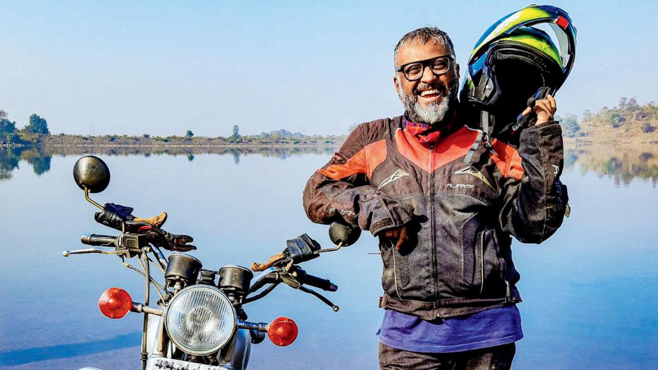
The tools and apps for navigation that motorists have at their disposal are getting handier with time. I recommend DMD2, an app that turns your phone into a customisable dashboard with navigation and route-planning features. This helps you interact with it conveniently while riding. It has a built-in roadbook for times when you feel adventurous and decide to go off-road on an impulse.
USP: Lets you read data like engine revolutions and fuel usage on-the-go through OBD sensors.
AVAILABLE: Play Store
Remember your routes
Rahul Kumar, rally biker @rahul.kumar0123
REPRESENTATION PICS
Being a rally biker, I often head out to terrain that is undocumented by everyday maps. OruxMaps GP is my top pick. Once you start a trip, the app keeps track of your route so you can trace it back later. It’s a life-saver for rallies in deserts, and routes with dense foliage. The app lets me share my route with other rallyists in the area to avoid overlaps and collisions.

USP: Ability to broadcast caution notes to users near you.
AVAILABLE: Play Store and Microsoft Store
 Subscribe today by clicking the link and stay updated with the latest news!" Click here!


